Ports and Waterways Small harbours and marinas
Concept and preliminary design of the harbour area of Porto Levante on the Po river (Italy)
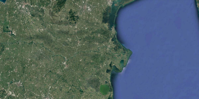
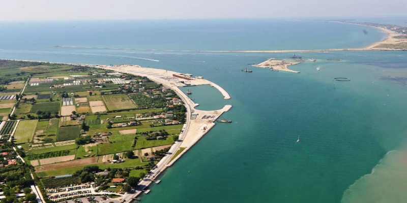
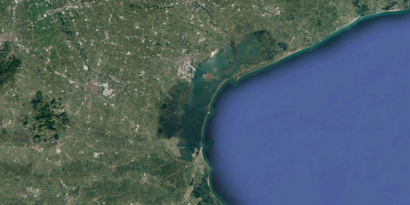
Close to its delta, the Po river ramifies into a number of arms and one of these, the Po di Levante, is navigable for more than 12 km.
At present, the waterway is ploughed by numerous barges and ships (maximum draught 3,20 m) that call at the industries that established along the river during the past decades. The most important is certainly the shipyard Cantieri Visentini that builds ro-ro and ferries up 190 m long.
Technital S.p.A. won the tender for the design of the works already suggested and studied in the Master Plan of a new commercial harbour to develop the entire area and rationalize the services on behalf of Sistemi Territoriali (Regione Veneto).
The design regards, first, some interventions to make navigation safe along the river:
- maintenance dredging up to the sea to allow the navigation of bigger ships;
- creation of a new turning circle close to Cantieri Visentini (this will be used for the launching even of ro-ro up to 210 m);
- creation of an area where a ship can moor in safety in case of necessity;
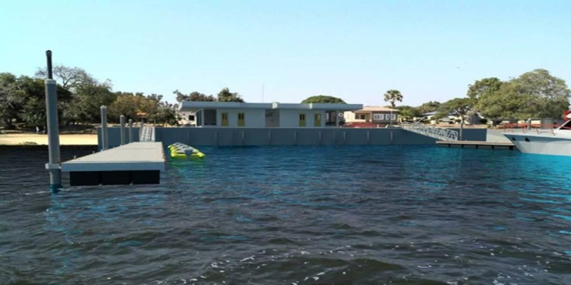
- enlargement of the bottleneck at Porto Levante and realization of new row of little piers for boats.
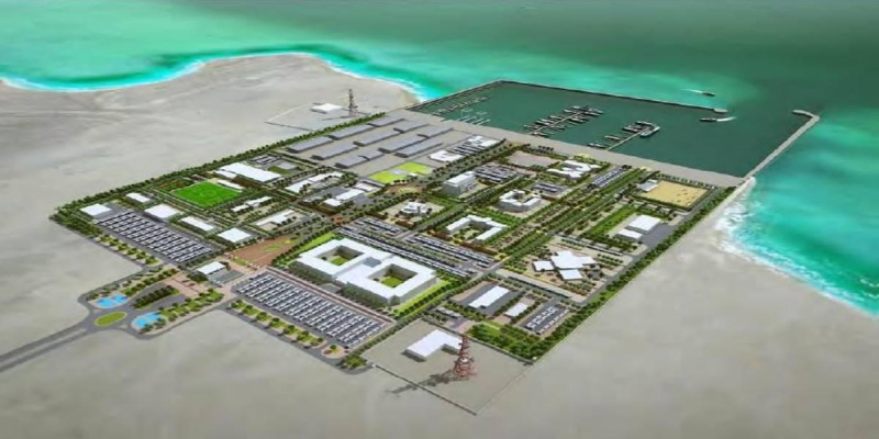
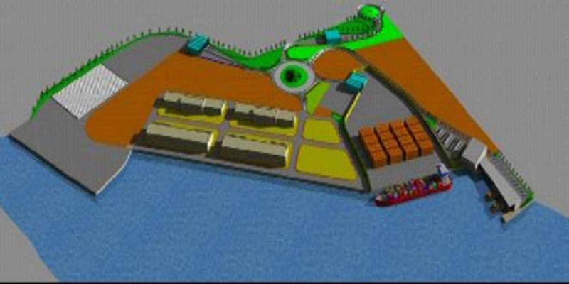
After that, the design indicates the future configuration and port development in terms of land use and related infrastructure.
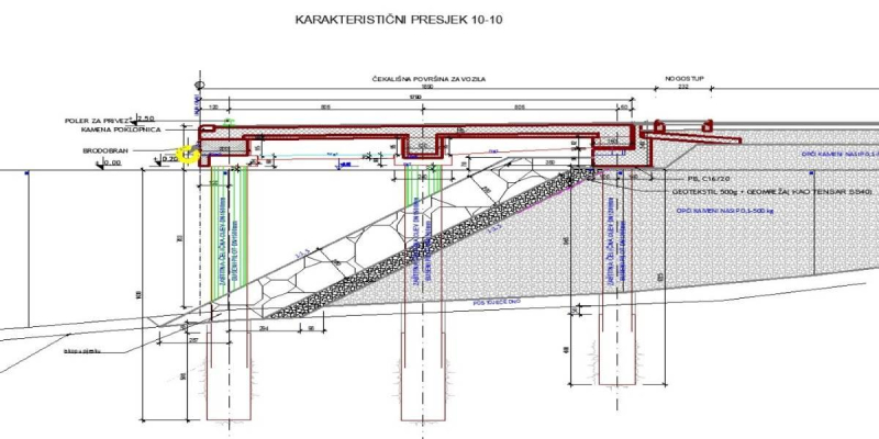
The proposal includes 650 m of new docks for the mooring of container ships of up to 140 m, bulk-carriers and general cargo ships of up to 150 m, ferries and ro-ro up to 180 m. The docks will be built on the land side and the available operational area for the harbour is about 20 ha. The stockyards dedicated to bulk-carrier terminal (4 ha) are large enough for some 500.000 t/yr and the container area (2 ha) can hold some 30,000 TEU/yr. The parking area for ro-ro terminal has been designed for a 2,500 m queue of vehicles.
The harbour will be provided with all the necessary services, such as Fire department, Police department, customs, pilot, mooring facilities, and so on.
The costs for the ‘safe navigation channel’ have been estimated at around € 6 million, taking into account maintenance dredging works along the river, dredging and excavation works for the turning circle and the realization of new embankment.
The development harbour area phase includes all the infrastructures to make the harbour operative, such as the paving, lighting, housing and other buildings, and roads, as well as the docks. The estimated cost for the realization is € 36 million.
Client
Sistemi Territoriali – navigation department
Location
Italy
Services
Concept Design, Preliminary Design
Cost of works
Euro 43,000,000


