Environnement EIE et plans de surveillance
Pedemontana Lombarda Motoway connecting Bergamo to Malpensa Airport (Italy)
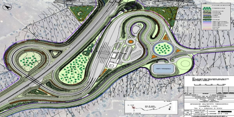
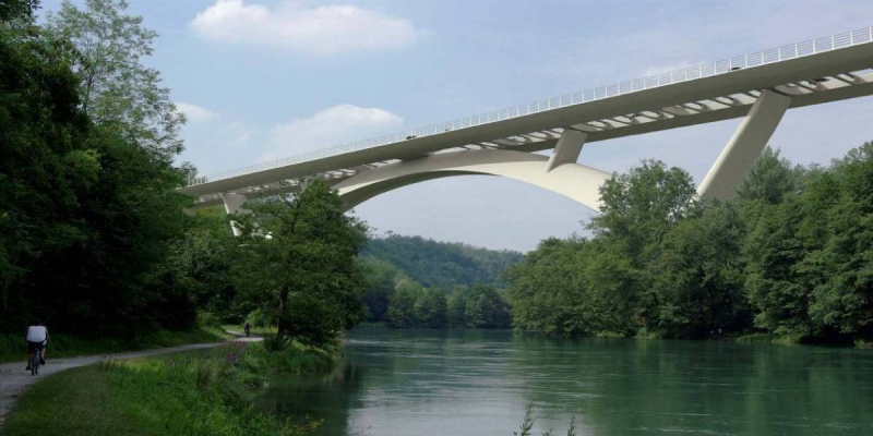
The "Pedemontana-Lombarda" motorway is a great road infrastructure, which crosses one of the most built-up areas in Europe. It consists of 67 km of motorway, 20 km of ring roads and 70 km of road connection, aimed to solve the congestion and saturation of the road network in the North of Milan. The road will be for nearly three-quarters below the ground level, almost invisible in trenches and tunnels.
The main activities carried out were:
- Drafting of the Environmental Monitoring Plan;
- Coordination and execution of the investigations;
- Development of geographic information system (GIS).
The environmental monitoring allows to quantify the impact of the construction and presence of the infrastructure on the environment by a series of periodic surveys, carried out on chemical, physical and biological parameters. The environmental aspects monitored are: atmosphere, surface water, groundwater, soil, vegetation – wildlife – ecosystems, landscape, noise, vibration, and social aspect.
The plan has been divided in three phases: ante operam, construction phase and post operam.
Correlating the results obtained in the different phases, it is possible to assess the evolution of the environmental conditions and evaluate the impact of the infrastructure.
During the preliminary design, the environmental monitoring plan has been settled in accordance with the Regional Authority for the Protection of the Environmental and in accordance with national and local guidelines and laws.
The environmental surveys have included the execution of field sampling and laboratory analysis as well as ecological surveys.
Special attention has been paid to the interaction between the work and the local population. According to this, the noise and air quality sampling points have been placed in order to survey the effect of the construction activities and the future emission of the road, considering as a priority the safeguarding of the resident population.
The groundwater investigations have been carried out in order to evaluate the possible effects of the tunnel sections of the road.
The Geographic Information System (GIS) has been implemented to support the environmental monitoring activities, with the aim to collect, validate, manage, represent and process the information acquired. The GIS is available on line.
Client
Autostrada Pedemontana Lombarda S.p.A.
Lieu
Lombardy, Italy
Prestations de service
Monitoring Plan, GIS
Coût des travaux
Euro 3,567,463,652


