Ambiente VIA e piani di monitoraggio
Flood control works on the Olona river (Italy)
The project concerns the design of lamination and control works of the floods of Olona river, whose reach is developed through built-up areas.
This situation required the design and realization of an artificial flooding area, in order to allow the lateral expansion of the river during a flood event, thereby avoiding the increase of the river level and consequent risk of flooding for the neighbouring fields.
The concept design included the by two flooding areas, the upstream in the right hand-side while the downstream area in the left hand-side. Heace of them was devided into three smaller basins.
Due to financial availability, the detail design focused only on a the left folloding area, in particular on two of the three smaller basins, the midle and the downstream.
The project area has an extension of about 35 hectares, which is divided in 16 hectares for the middle basins and 19 hectares for the lower one. The total volume of water which can be stored in the area is about 730.000 of m³, divided in 360.000 m³ for the upper and 370.000 m³ for the lower basin.
The two areas are located on the hydrographic left sides, connected each others. The whole flooding area consists of a series of two descending smaller basins: the primary stage, which occurs in the upper basin, concerns the collecting of the surplus water from the main artery of the Olona river. Here the left levee of the river has been re-shaped, in order to avoid risks and physically separate the river area and the flooding area. In the lower basin it has been necessary to continue the re-shaping of the left levee, thus separating the new artificial flood zone from the previous main riverbed. In the lower basin the restitution work was placed. All the project area was surrounded by an embankment to create an artificial basin and contain the flood into the defined area. The total extension of these embankments is about 3850m. The two basins are physically interrupted by an embankment of about 330m, which is roughly located in the middle of the project area.
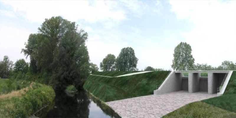
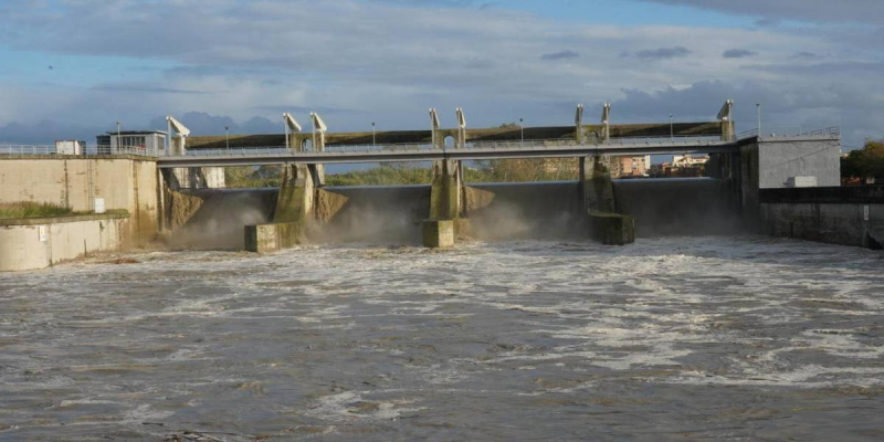
The connection between the river and the basins is provided by a lateral structure, created in the upstream side of the basins. It is composed by a crested weir regulated by five sluice gates. The total width of the weir is about 13m, divided into five gates.
The connection between the upper and lower basins is provided by a structure realized in the middle embankment. It is composed by a two barrels culvert, regulated by four sluice gates, which are open to allow the flooding of the lower basin, when the upper is full. The connection structure is composed of a 10m overflow.
At the lower point of the project is located the restitution structure, which allow to empty the basins at the end of the critical event.
Cliente
Inter-regional Authority for the Po river
Luogo
Lombardy, Italy
Servizi
EIA
Costo dei lavori
Euro 10,883,200


